Fully editable dwg, you can change all the drawings in the project together with everything else.
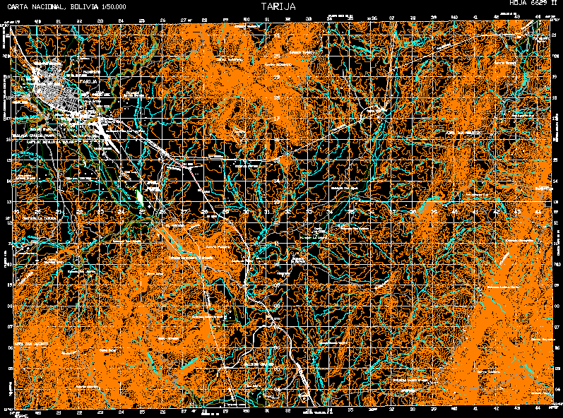
Tarija Map is a topographic map City Hoja 6629 - II upstream of the original IgM Instituto Geografico military 1 50000 scale UTM coordinate Datum PSAD - 56
 This dwg file is compatible with all versions of Autocad program.
