All Dwg
>
Urban Design
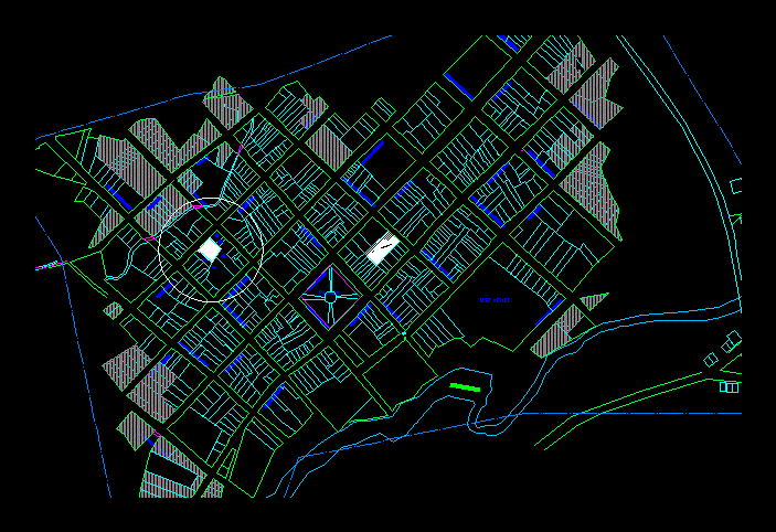
> Cadastral District of the province of the Zacatecas San Martin - peru Map planimetre
Fully editable dwg, you can change all the drawings in the project together with everything else.
PLANIMETRY-PARCEL
 This dwg file is compatible with all versions of Autocad program.
