All Dwg
>
Miscellaneous
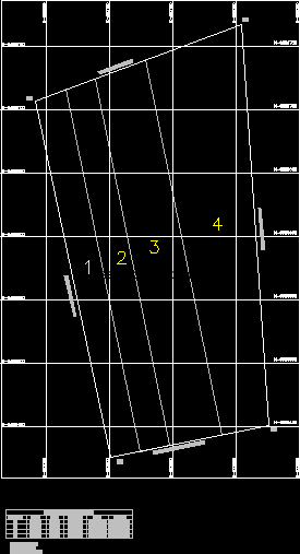
> Polygonal terrain map created with UTM coordinates
Fully editable dwg, you can change all the drawings in the project together with everything else.
Field mapping was created using UTM coordinates
 This dwg file is compatible with all versions of Autocad program.
