All Dwg
>
Miscellaneous
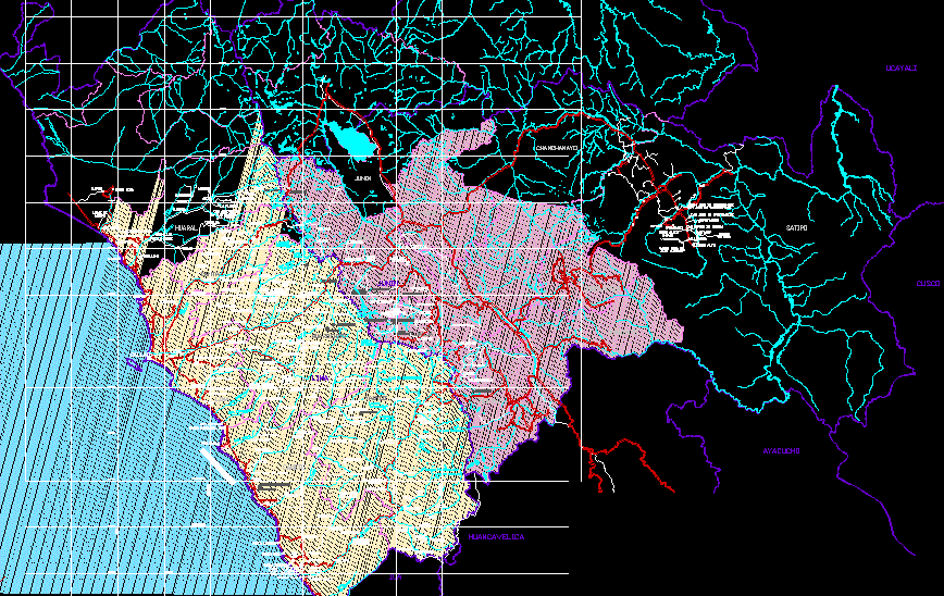
> Topographic map pumahuasi the crux of the canyon peru
Fully editable dwg, you can change all the drawings in the project together with everything else.
Pumahuasi and Flat creek topographic map hydrographic hydrological and environmental assessments to apply
 This dwg file is compatible with all versions of Autocad program.
