All Dwg
>
Miscellaneous
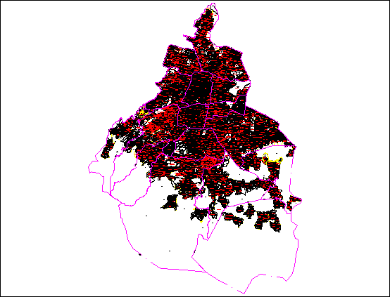
> Map of federal district of Mexico City
Fully editable dwg, you can change all the drawings in the project together with everything else.
All the streets of the colonies contains the federal district and according to them there are streets and avenues
 This dwg file is compatible with all versions of Autocad program.
