All Dwg
>
Miscellaneous
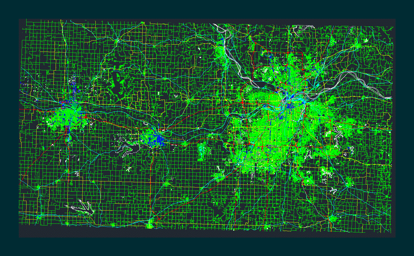
> The City Kansas City map
Fully editable dxf, you can change all the drawings in the project together with everything else.
Map of urban Kansas City United States Yesil areas the streets the buildings Rhino and Revit support AutoCAD DXF format
 This dxf file is compatible with all versions of program.
